Knowing where you are anywhere on Earth to within a few metres, by timing radio signals from satellites. It works because atomic clocks are extraordinarily precise, and it would fail within minutes without corrections derived from both of Einstein's theories of relativity.
Each satellite broadcasts its position and the exact time of transmission. A receiver compares that time with its own clock and multiplies the difference by the speed of light, giving its distance from that satellite.
One distance places the receiver on a sphere. Two intersecting spheres give a circle, three give two points, one of which is absurd. Three satellites would therefore suffice if the receiver had a perfect clock.
It does not. A receiver's quartz clock is millions of times worse than the satellites' atomic clocks, and an error of a millionth of a second is three hundred metres.
The solution is elegant: treat the receiver's clock error as a fourth unknown alongside the three position coordinates, and use a fourth satellite. Four equations, four unknowns. The receiver solves for its position and simultaneously corrects its own clock, which is why a satellite navigation receiver is also an extremely accurate timing device, and why they are used to synchronise power grids, financial trading systems and mobile networks.
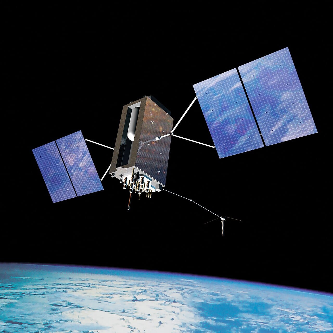
Everything rests on timekeeping. Each satellite carries several atomic clocks, based on caesium or rubidium, accurate to around a nanosecond, and they are monitored and corrected from the ground.
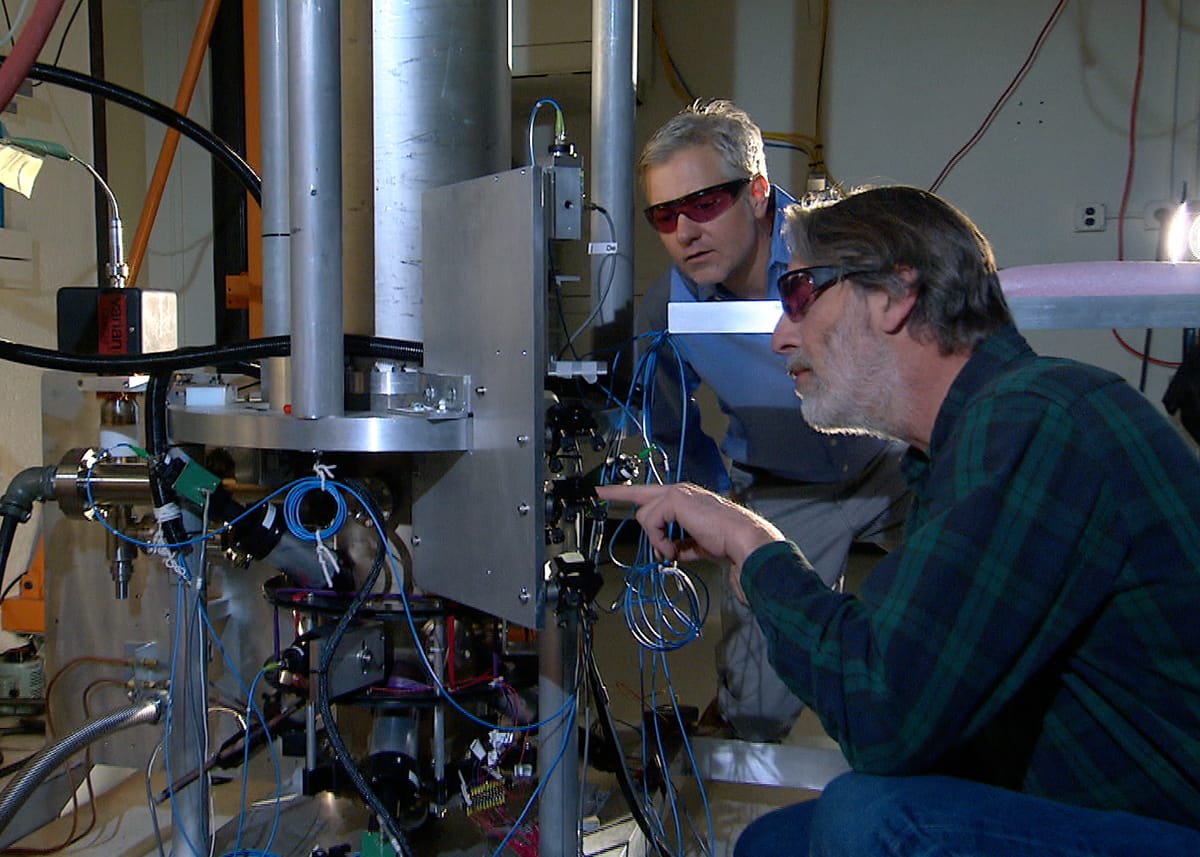
A nanosecond corresponds to about thirty centimetres of position error, which sets the scale of everything else in the system.
This is the most-cited practical application of relativity, and the numbers are worth stating because the effect is often described vaguely.
Special relativity: the satellites move at about 14,000 kilometres per hour, and moving clocks run slow. This loses about 7 microseconds per day.
General relativity: the satellites are about 20,000 kilometres up, where gravity is weaker, and clocks in weaker gravitational fields run fast. This gains about 45 microseconds per day.
The two effects act in opposite directions and do not cancel. The net is roughly 38 microseconds per day of gain.
Uncorrected, that accumulates to a position error of about ten kilometres per day. The system would be useless within minutes and unusable within hours.
The correction is built in. Satellite clocks are deliberately set to run slightly slow before launch, so that once in orbit they tick at the correct rate as seen from the ground, and further relativistic terms are applied for orbital eccentricity.
There was genuine uncertainty about this before the first launches, and the initial satellite carried a switchable frequency synthesiser so the correction could be turned on after the effect was confirmed. It was, and it was.
GPS, operated by the United States Space Force, reached full capability in 1995. It was built for the military, and a deliberate degradation called selective availability limited civilian accuracy to around a hundred metres until it was switched off in 2000, after which civilian accuracy improved roughly tenfold overnight.
GLONASS, Russian, was completed in the 1990s, decayed badly after the Soviet collapse, and was restored in the 2000s.
Galileo, European, reached initial services in 2016 and is designed as a civilian system under civilian control.
BeiDou, Chinese, achieved global coverage in 2020.
Most modern receivers use several constellations at once, which improves accuracy and availability, particularly in cities where buildings block much of the sky.
The ionosphere and troposphere slow the signals by varying amounts, which is the largest error source. Dual-frequency receivers largely cancel the ionospheric part by comparing delays at two frequencies.
Multipath error comes from signals reflecting off buildings and arriving late, and is why accuracy degrades in urban canyons.
Augmentation systems improve on the basic service substantially. Differential correction uses a fixed station at a known location to measure the current error and broadcast it. Real-time kinematic positioning compares the carrier wave phase rather than the code and reaches centimetre accuracy, which is what precision agriculture and surveying use.
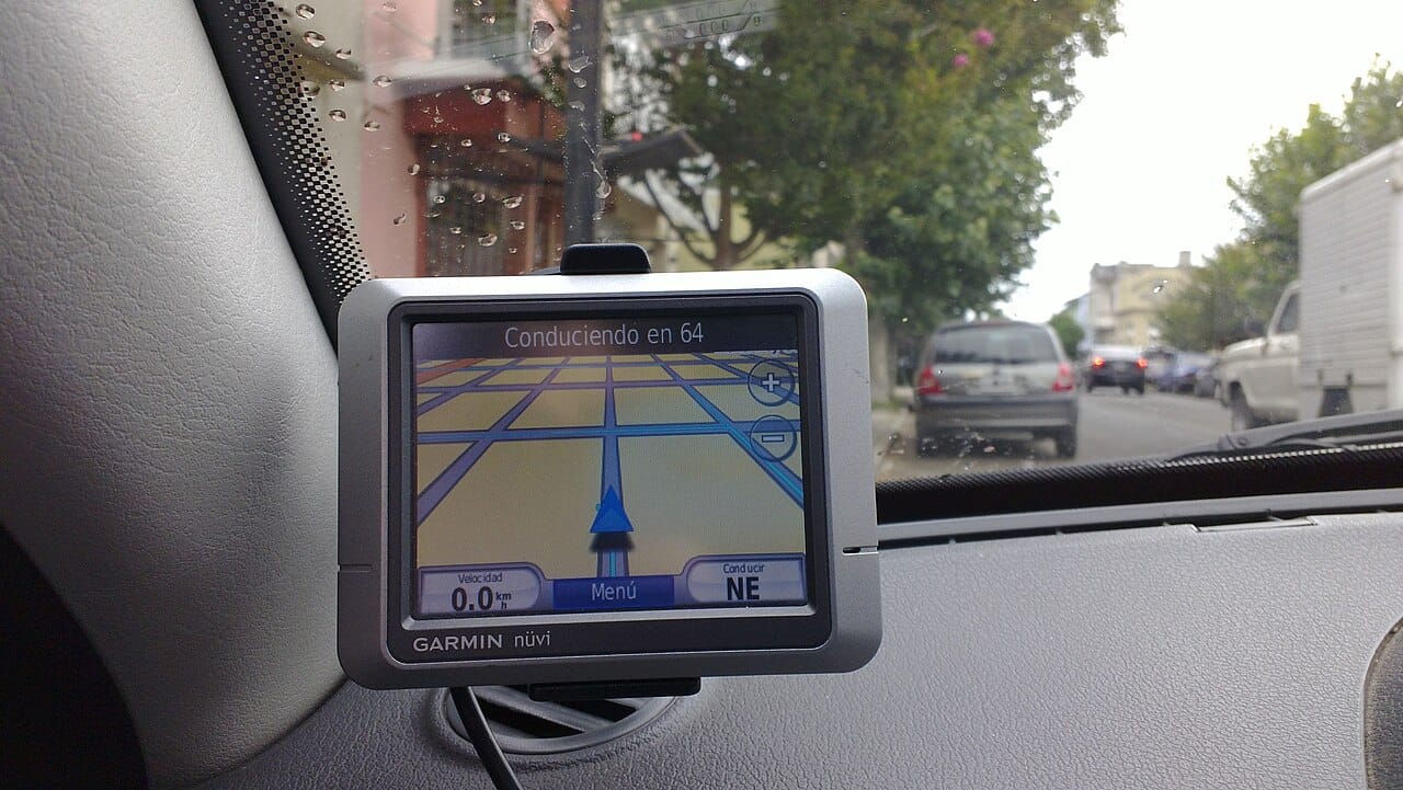
Navigation is the visible use and the smallest part.
Timing is the larger dependency. Mobile networks, electricity grids, data centres and financial exchanges all synchronise to satellite time, and many have no independent backup of comparable accuracy.
That concentration is now recognised as a strategic vulnerability. Jamming is cheap, and spoofing, broadcasting false signals to make a receiver compute a wrong position, has been observed affecting shipping and aviation in several regions. Terrestrial backup timing systems have been proposed and largely not built.