The making of maps. Every map is a deliberate distortion, because the surface of a sphere cannot be laid flat without stretching something, and every map also selects what to show, which is where its arguments live.
A sphere has no flat equivalent. This is not a limitation of technique but a proven property of curved surfaces: the Gaussian curvature of a sphere is not zero and that of a plane is, and no transformation between them preserves distance everywhere.
Every projection therefore chooses what to preserve and what to sacrifice.
Conformal projections preserve angles and local shape, and distort area. The Mercator projection of 1569 is the standard example. It was designed for navigation, because a line of constant compass bearing appears as a straight line on it, which is exactly what a sailor needs and is a genuine achievement rather than an accident.
Equal-area projections preserve area and distort shape. Several exist and none is comfortable to look at, because preserving area forces visible shearing somewhere.
Equidistant projections preserve distance along particular lines only, never everywhere.
Compromise projections preserve nothing exactly and distribute error, which is what most world maps in atlases now use.
The recurring complaint that Mercator exaggerates high latitudes is correct and is the projection working as specified. Greenland appears comparable to Africa and is about fourteen times smaller. What deserves criticism is using a navigation projection for thematic world maps, which is a choice by publishers rather than a defect in Mercator.
A map that showed everything would be the size of the territory and would be useless.
Generalisation is therefore intrinsic. Features are simplified, small ones omitted, and others exaggerated beyond scale so they remain visible: a road drawn to scale on a national map would be a fraction of the width of a printed line.
Selection carries argument. Which settlements are named, which borders are drawn as firm or disputed, which language a place name appears in, and what is left blank are all decisions, and they have been the subject of formal diplomatic protest more than once.
Blank space is rarely empty. Areas shown as unmapped in the colonial period were generally inhabited and known to their inhabitants, and the blankness recorded what the mapmaker's state did not yet control.
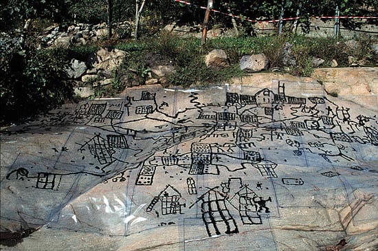
Early maps are found across unconnected societies, including engraved plans of fields in prehistoric Europe and clay tablets from Mesopotamia.
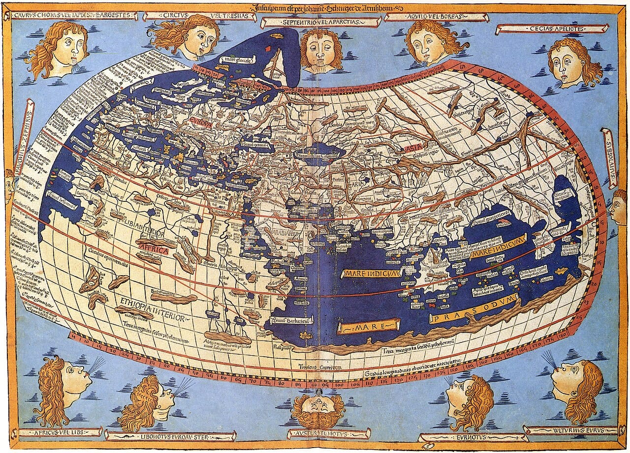
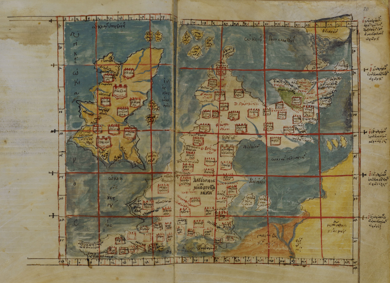
Ptolemy's Geography, written in the second century, listed coordinates for thousands of places and set out how to project a sphere onto a plane. It was lost to Europe and preserved and extended in the Islamic world, and its recovery in the fifteenth century directly shaped European exploration.
Medieval European mappae mundi arranged the world around religious meaning, placing Jerusalem at the centre. Reading them as failed attempts at accuracy misunderstands them, since they were diagrams of significance rather than instruments for travel. Portolan charts of the same period, made for actual navigation, are strikingly accurate about coastlines.
Triangulation, from the sixteenth century, made systematic survey possible. Measure one baseline precisely, then fix every other point by angles, and the errors do not accumulate the way they do in chained distance measurement.
National surveys followed, generally driven by taxation and by the military, and the great trigonometrical surveys of the eighteenth and nineteenth centuries were state undertakings lasting decades.
Aerial photography and then satellite imagery removed the need to visit, and satellite positioning removed most of the surveying.
Digital mapping changed the object rather than the technique. A digital map is a database queried at a chosen scale rather than a fixed drawing, so generalisation happens on demand and every viewer can see a different selection.
Routing rather than depiction is now the dominant use. Most people consult a map to be told a route rather than to understand a place, which is a different activity and produces different knowledge.
Crowdsourced mapping, principally OpenStreetMap, produces open geographic data by voluntary survey, and in several parts of the world it is more complete than commercial alternatives.
The distortions have not gone away. Which businesses appear, which routes are suggested, and which areas are rendered in detail are all editorial decisions made by software, and they are less visible than a projection because nothing about the interface announces that a choice was made.
Disputed borders are handled by showing different maps in different countries, which several major providers do, so the map you see depends on where you are.
Maps are among the oldest tools for holding knowledge outside a person's head, and the ability to represent a place in plan view, from a vantage nobody had ever occupied, is a considerable cognitive achievement that appears independently in unrelated societies.
They are also persuasive in a way that is easy to miss. A map presents itself as a description of what is there, while being a set of decisions about what counts, and readers who would question a written claim will frequently accept the same claim in cartographic form without noticing that it was made.