Narrow bands of fast wind near the top of the troposphere, flowing generally west to east. They steer weather systems across the middle latitudes and their meanders determine much of the day-to-day weather experienced there.
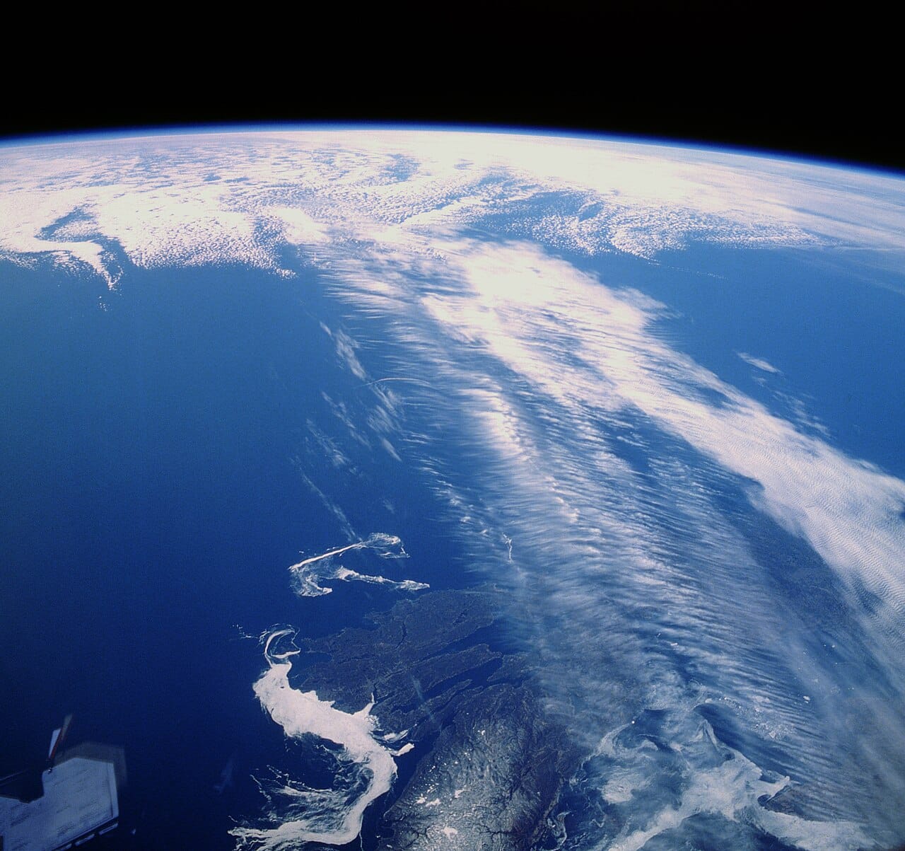
Jet streams are ribbons of air moving typically at 150 to 250 kilometres per hour, and considerably faster in places, at altitudes around nine to twelve kilometres.
They are narrow relative to their length: a few hundred kilometres wide and thousands long, encircling the hemisphere.
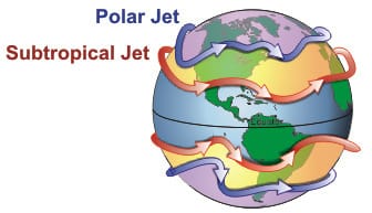
Each hemisphere has two principal jets. The polar jet lies near the boundary between cold polar air and milder mid-latitude air, and it is the one that governs weather in Europe, North America and northern Asia. The subtropical jet lies further equatorward and is generally weaker and steadier.
Two ingredients produce them.
The first is the temperature contrast between the equator and the poles. A horizontal temperature difference produces a pressure difference that increases with height, and therefore a wind that strengthens with altitude. The strongest winds occur above the sharpest temperature gradients, which is why the polar jet sits above the boundary between air masses.
The second is the Earth's rotation. Air moving from high to low pressure is deflected, to the right in the northern hemisphere, so instead of flowing directly across the gradient it flows along it. The result is a wind running roughly parallel to the temperature boundary rather than across it, which is why jets run west to east.
The consequence is that jet strength tracks the temperature contrast. The polar jet is stronger in winter, when the pole is much colder than the mid-latitudes, and weaker in summer.
The jet does not merely accompany weather systems; it organises them.
Waves in the jet, called Rossby waves, produce alternating ridges and troughs. Air descends beneath ridges, giving settled dry conditions, and rises beneath troughs, giving cloud and precipitation.
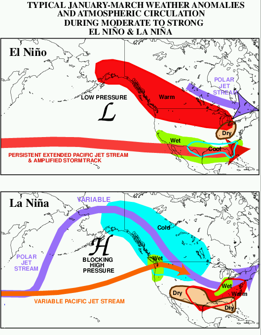
Storm systems develop along the jet where the temperature contrast is sharpest and are steered along it. A shift of a few hundred kilometres in the jet's position determines whether a region receives a week of rain or a week of sunshine.
When the waves become large and slow-moving, weather becomes persistent. A blocking pattern can hold the same conditions in place for weeks, which is how prolonged heatwaves, droughts and cold spells generally arise. Persistent extremes in the mid-latitudes are usually a jet stream story rather than a local one.
The jets were identified partly through aviation. High-altitude bomber crews in the 1940s found themselves making almost no progress against unexpected headwinds, and Japanese balloon bombs released during the Second World War reached North America by riding the flow.
Commercial aviation uses them routinely. Eastbound transatlantic flights ride the jet and westbound ones avoid it, which is why the same route takes substantially longer in one direction, often by around an hour.
Clear air turbulence occurs at the jet's edges, where wind speed changes sharply over short distances. It is invisible to radar because it involves no cloud, which is why it is the form of turbulence most likely to be encountered without warning.
The Arctic is warming faster than the mid-latitudes, a pattern called Arctic amplification. Since the jet is driven by the temperature contrast between them, a reduced contrast should weaken it.
A widely discussed hypothesis holds that a weaker jet meanders more and moves more slowly, producing more frequent persistent extremes. It has intuitive appeal and substantial attention.
The evidence is genuinely mixed. Some analyses find increased waviness and more blocking; others find no robust trend once natural variability is accounted for. Climate models do not consistently reproduce the proposed mechanism, and the observational record is short relative to the variability being measured.
What is better established is that the jets appear to be shifting poleward and that the tropics are expanding, both consistent with model projections, with consequences for the position of storm tracks and of subtropical dry zones.
The honest summary is that jet stream behaviour under warming is an active and unresolved question, and it is frequently reported with more confidence than the literature supports.
The jet stream is the mechanism translating the planet's temperature structure into the weather people experience, which is why forecasting beyond a couple of days is largely a matter of predicting where the jet will go.
It is also the clearest example of how a small change in a large-scale circulation produces disproportionate local effects: the jet moving a few hundred kilometres is a minor shift in atmospheric terms and the difference between a normal season and a damaging one on the ground.