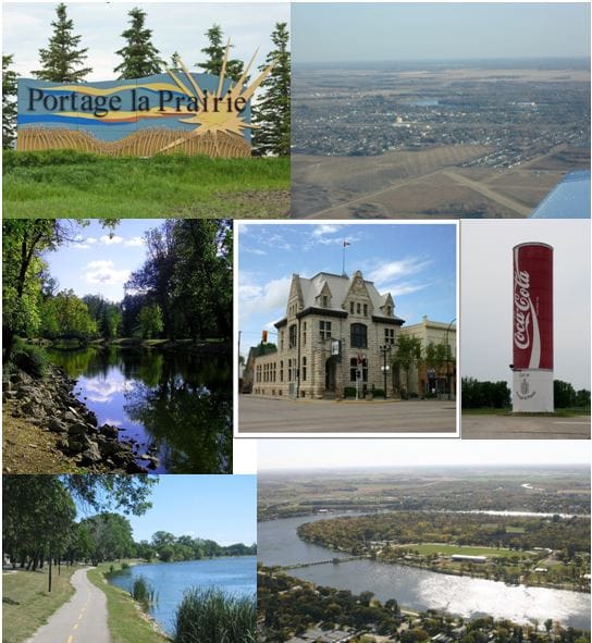
Portage la Prairie is a city in central Manitoba on the Assiniboine River, about eighty kilometres west of Winnipeg, with 13,270 residents at the 2021 census. Its name records what the place was for: the portage between the Assiniboine River and Lake Manitoba, a short overland carry that linked two water systems and made the site strategically valuable long before there was a town. It is now a food processing centre of national significance.
The portage was used by Cree, Assiniboine and Ojibwe people as part of a route network connecting the Assiniboine to Lake Manitoba and onward to Lake Winnipeg and Hudson Bay.
In 1738 Pierre Gaultier de Varennes, sieur de La Verendrye, built Fort la Reine at or near the site as part of the French push west, and used it as a base for further exploration. The fort changed hands and locations over the following decades as French and then British traders worked the region.
A permanent agricultural settlement grew from the 1850s, and the town was incorporated in 1880.
The district has one genuinely unusual episode in its history. In 1867 and 1868, in the interval before Canada acquired the territory and while the Hudson's Bay Company's authority was weak, a group of settlers declared the Republic of Manitobah with Thomas Spence as president, based at Portage la Prairie. It collapsed within months after the British Colonial Office declined to recognise it. The name, however, survived into the province created in 1870.
The city sits on the Portage Plains, an expanse of flat and extremely fertile land laid down as a delta when glacial Lake Agassiz drained. The soil is a large part of why the food industry settled here.
Flooding on the Assiniboine has been a persistent threat. The Portage Diversion, completed in 1970, carries floodwater north to Lake Manitoba and protects both the city and Winnipeg downstream. Its operation has at times been contentious, since diverting water protects the cities while raising levels on Lake Manitoba and affecting communities and farmland around it, a tension that became acute during the 2011 flood.
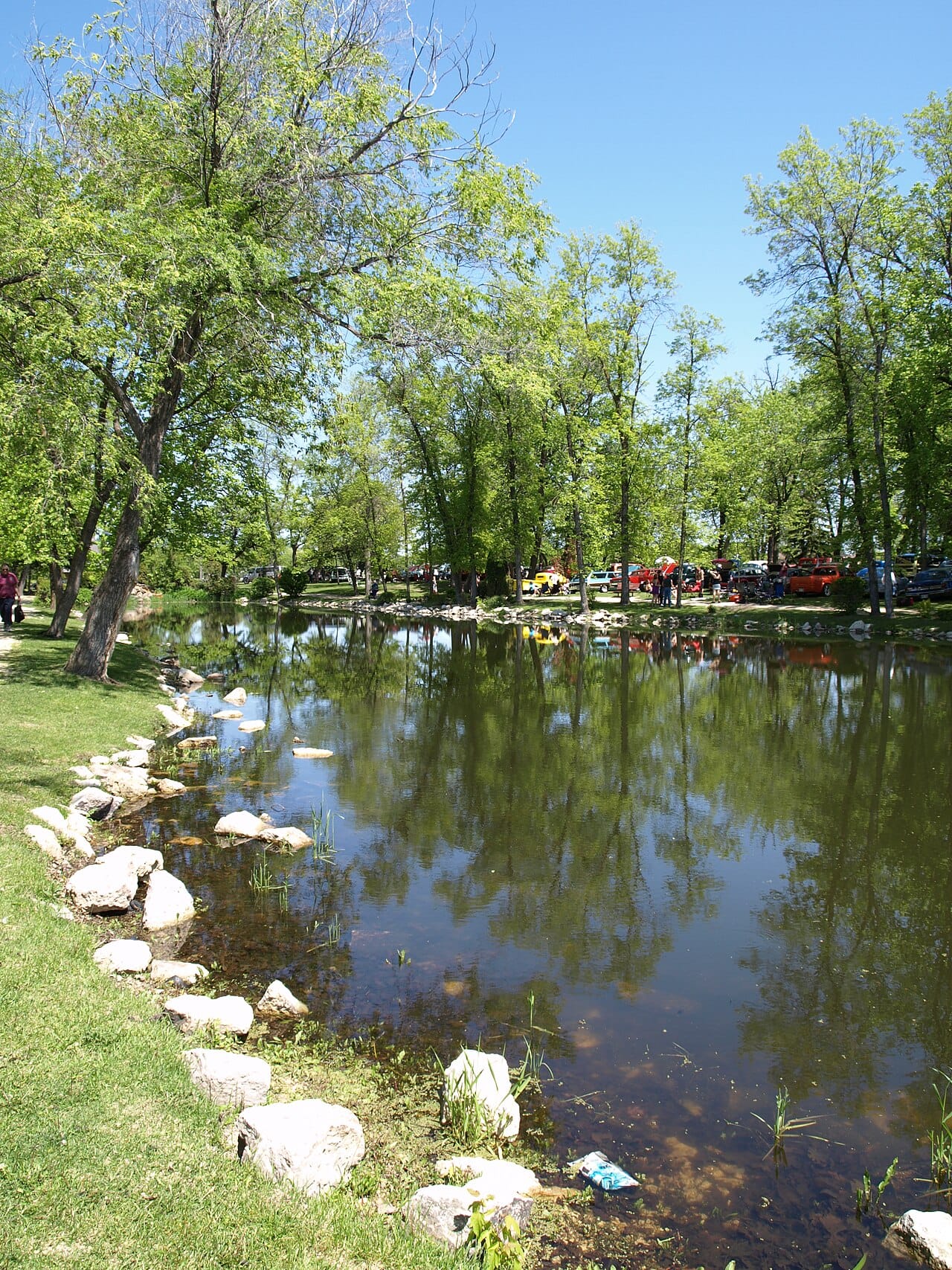
Crescent Lake, an oxbow left by an old channel of the Assiniboine, curls through the middle of the city and is its most distinctive feature.
Portage la Prairie is governed by a mayor and eight councillors. The city and the surrounding rural municipality are separate jurisdictions that share several services.
Food processing dominates and gives the city an economic weight beyond its population. Major potato processing and vegetable operations draw on the surrounding fields, and the sector has attracted sustained investment, including one of the largest food plants built in Manitoba in recent decades.
Agriculture, manufacturing and transport make up much of the rest. The city sits on the Trans-Canada Highway and main rail lines.
Southport, the former Royal Canadian Air Force base at the edge of the city, is now a civilian aerospace and training campus, and remains a significant employer.
The Portage la Prairie School Division serves the city. Assiniboine Community College and the University of Manitoba both maintain a presence, and Southport hosts pilot training operations.
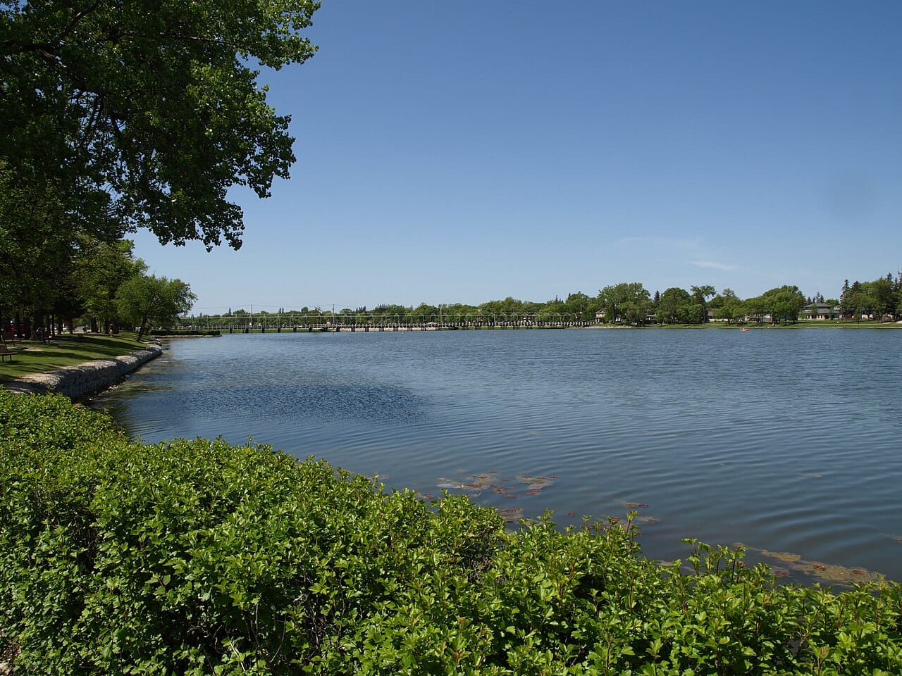
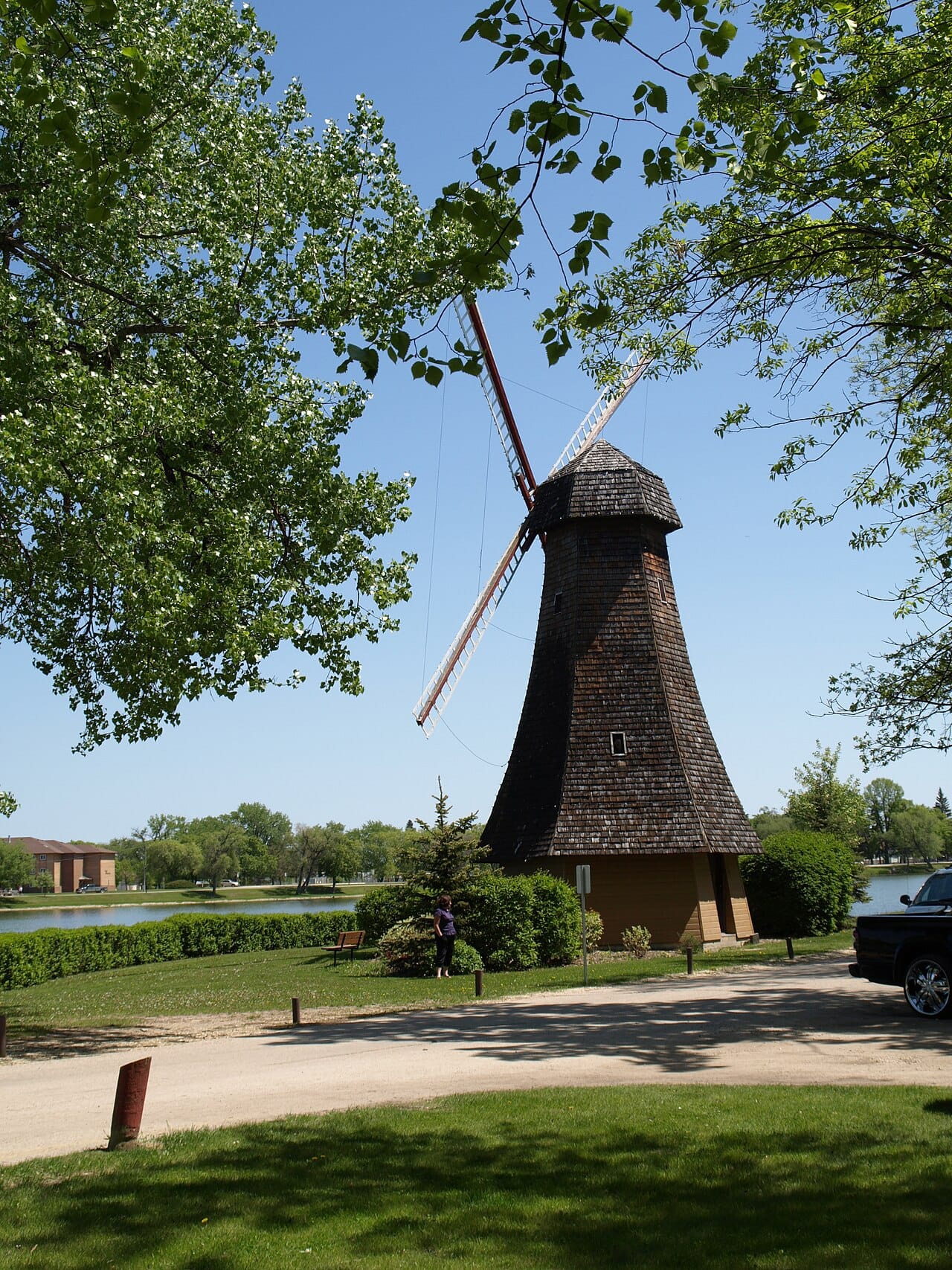
Island Park, on the land enclosed by Crescent Lake, is the centre of civic recreation, with a golf course, sports grounds and a waterfowl population that gives the lake its character.
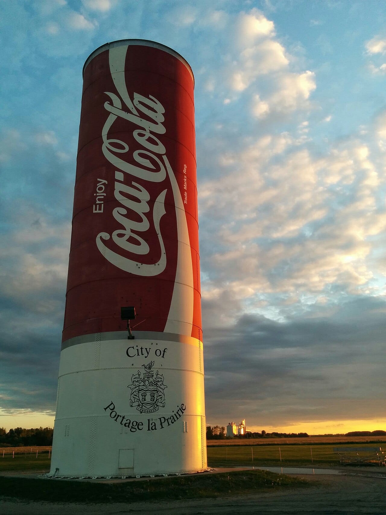
The city is home to a substantial Indigenous population, and Long Plain First Nation holds urban reserve land within the city limits, one of the earlier such arrangements in Manitoba.
Portage la Prairie was also the site of a residential school operated from 1915 to 1975, part of the system examined by Canada's Truth and Reconciliation Commission. The building later housed the Rufus Prince Building on Long Plain's urban reserve and now holds a museum documenting that history.
The 2021 census recorded 13,270 residents, making it the fifth largest city in Manitoba. Around a fifth of the population identifies as Indigenous, a considerably higher proportion than the provincial average.