Masses of ice large enough to move under their own weight. They hold most of the world's fresh water, they carved much of the landscape of the northern continents, and their present retreat is among the most directly observable indicators of climate change.
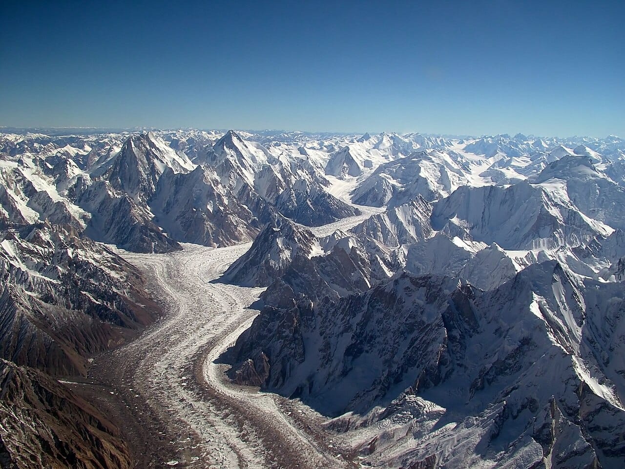
A glacier forms where more snow falls in winter than melts in summer, sustained over many years. Successive layers compress the snow beneath, which loses air, recrystallises, and becomes dense ice.
Once the ice is thick enough, roughly fifty metres, the weight causes it to deform and flow. This is the defining property: a glacier is ice that moves. Movement occurs both by deformation within the ice and by sliding over the bed, lubricated by meltwater.
Every glacier has an accumulation zone at higher elevation, where snow gain exceeds loss, and an ablation zone lower down, where loss exceeds gain. The boundary between them is the equilibrium line, and its position over time indicates whether the glacier is growing or shrinking.
The terminus advances or retreats according to the balance between accumulation and ablation. The ice itself always flows downhill; a retreating glacier is one where melting at the front outpaces the arrival of new ice.
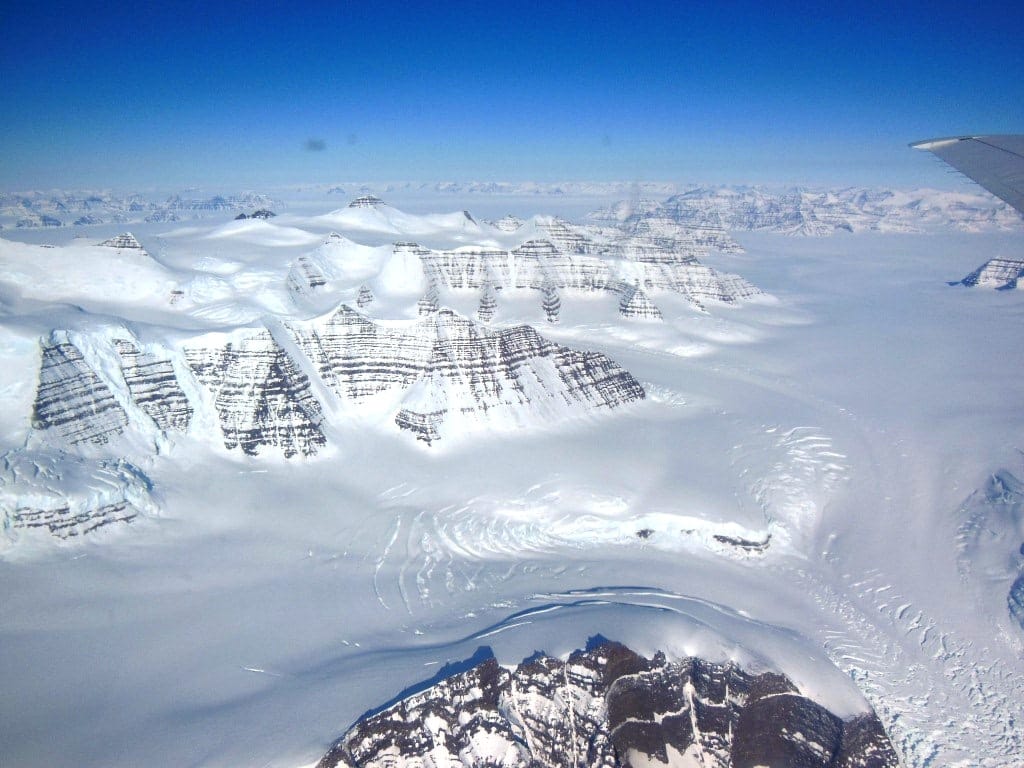
Ice sheets are the largest, covering continental areas and burying the terrain beneath. Only two remain, over Antarctica and Greenland, and together they hold the great majority of the world's fresh water. Antarctica's contains enough to raise sea level by roughly fifty eight metres if it melted entirely, and Greenland's around seven.
Ice caps are smaller versions covering highland areas.
Valley glaciers flow down existing valleys and are confined by them. Cirque glaciers occupy hollows near mountain summits. Piedmont glaciers spread out where a valley glacier reaches a plain.
Where ice reaches the sea it may float as an ice shelf, and blocks breaking off become icebergs.
Glaciers are among the most effective agents of erosion, and much of the landscape of northern Europe and North America is their work.
They erode by plucking, freezing onto rock and pulling fragments away as they move, and by abrasion, grinding the bed with the debris they carry. Striations scratched into bedrock record the direction of former flow.
The resulting landforms are distinctive. A glaciated valley has a U-shaped cross section, in contrast to the V-shape cut by a river. Cirques are the amphitheatre-shaped hollows where glaciers begin. Aretes are sharp ridges between adjacent cirques, and a horn is a peak carved from several sides, of which the Matterhorn is the standard example. Fjords are glaciated valleys flooded by the sea.
Deposition produces moraines, ridges of unsorted debris left at the edges and the terminus of a glacier, which mark former positions precisely and are used to reconstruct past extents.
Glacial erratics, boulders transported far from their source rock, provided some of the earliest evidence that ice had once covered regions where none now exists. Louis Agassiz assembled that argument in the 1830s and 1840s.
Glaciers and seasonal snowpack act as natural reservoirs, storing precipitation in the cold season and releasing it through the warm one. Rivers fed this way, including several of the largest in Asia and South America, supply water to very large populations at the time of year when rainfall is least.
That buffering is what is at risk. A shrinking glacier initially yields more meltwater and then progressively less, so the loss appears first as abundance.
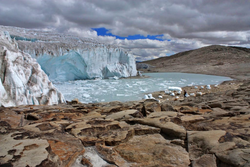
Glaciers are retreating almost everywhere, and the pattern is consistent enough that it is used as a straightforward physical indicator of warming. Monitoring networks show sustained negative mass balance across most monitored glaciers over recent decades.
Tropical and low-elevation glaciers are among the most affected, and several have lost the majority of their area within a century.
The ice sheets are losing mass and contributing to sea level rise, alongside the thermal expansion of seawater. Projections of that contribution, particularly from parts of the West Antarctic ice sheet that rest on beds below sea level, remain a substantial source of uncertainty in sea level forecasts.
Ice cores drilled from glaciers and ice sheets preserve trapped air bubbles, providing direct samples of past atmospheres going back hundreds of thousands of years, which is how pre-industrial carbon dioxide concentrations are known rather than inferred.
Glaciers are the clearest visible link between climate and landscape, recording past conditions in the land they shaped and present conditions in their extent. They are also a practical water resource for a large fraction of humanity, and one whose behaviour under continued warming is the subject of active measurement rather than speculation.