Kiribati is an island nation in the central Pacific, made up of 33 low-lying coral atolls and reef islands scattered across an immense expanse of ocean straddling the equator. Though its land area is tiny, its territorial waters are vast, and it is the only country in the world to lie in all four hemispheres, spanning the equator and the international date line. A remote and overwhelmingly rural nation of fishing and subsistence, Kiribati is among the countries most acutely threatened by rising seas, which endanger its very existence.
Kiribati's story runs from the deep past of Micronesian voyaging, through a brush with whalers and British rule, to the terrible fighting of the Second World War and independence.
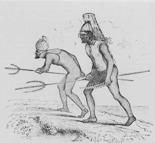
The atolls were settled by Micronesian peoples thousands of years ago, seafarers who crossed vast reaches of open ocean to reach these specks of coral and who, over centuries, mixed with Polynesian and other arrivals. They built a resilient island culture of navigation, fishing, and warfare, famed for armour woven from coconut fibre and for fearsome weapons edged with the teeth of sharks.
From the nineteenth century whalers, traders, and labour recruiters worked the islands, followed by missionaries who brought Christianity. To bring order to the trade, Britain declared a protectorate over the Gilbert Islands, later joining them with the Ellice Islands to the south as a single colony administered from afar.
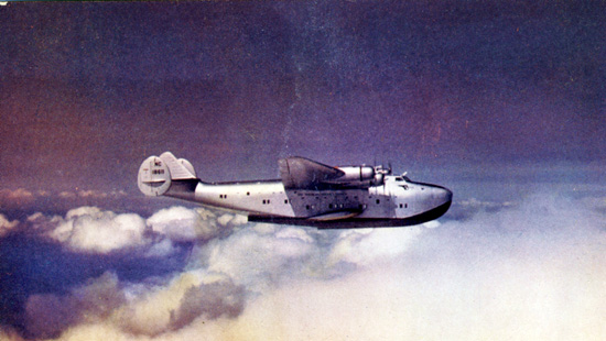
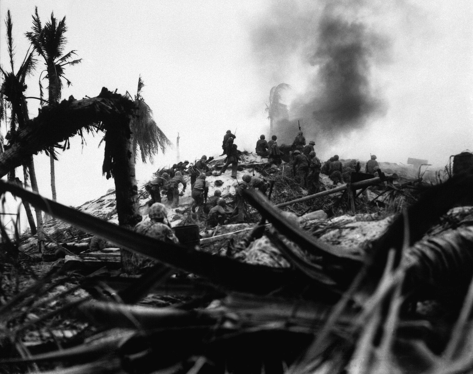
In the twentieth century the remote atolls were drawn into the wider world, touched by the long-range flying boats that pioneered trans-Pacific air routes and then, brutally, by the Second World War. The Battle of Tarawa in 1943, when American forces stormed a heavily fortified Japanese atoll, was among the bloodiest actions of the Pacific. After the war the Ellice Islands split away to become Tuvalu, and the Gilberts gained independence as Kiribati, a local rendering of the word Gilberts, in 1979.
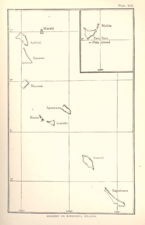
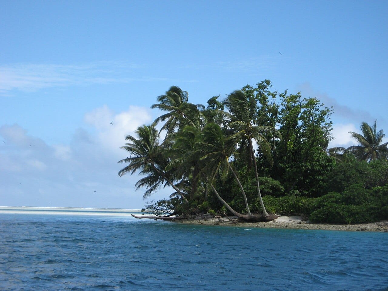
Kiribati consists of 33 atolls and reef islands grouped into three widely separated chains, the Gilbert, Phoenix, and Line Islands, spread across millions of square kilometres of the central Pacific, giving the small nation one of the largest exclusive economic zones in the world. The islands themselves are tiny, flat strips of coral barely a few metres above the sea, with no high ground anywhere, ringed by reefs and lagoons. This extreme low elevation makes Kiribati exceptionally vulnerable to rising sea levels, storm surges, and the contamination of its fresh water.
Kiribati is a presidential republic, led by a president, the Beretitenti, who is both head of state and head of government and is directly elected. Since 2016 the office has been held by Taneti Maamau, re-elected in the years since. His government has drawn attention abroad for a marked shift in foreign policy: in 2019 Kiribati switched its diplomatic recognition from Taiwan to China, and it later briefly moved to leave the region's main diplomatic body, the Pacific Islands Forum, before returning. Growing Chinese interest in the country, including in the airstrip on remote Canton Island, has placed tiny Kiribati, like several of its neighbours, within the wider contest for influence in the Pacific.

Kiribati is among the poorest and most remote nations on Earth, with an economy shaped by the limits of the atolls. There is almost no farming beyond coconuts, and the chief resource is the sea: the licensing of foreign fleets to catch tuna in its enormous ocean territory is by far the largest source of government revenue. Copra, the money sent home by I-Kiribati seafarers who crew ships worldwide, and foreign aid make up much of the rest. The island of Banaba once yielded rich phosphate, but the deposits were exhausted under colonial mining, leaving the country to live mainly from the ocean.

The flag of Kiribati has a red upper half bearing a golden frigatebird flying over a golden rising sun, and a lower half of blue and white wavy bands representing the Pacific Ocean. The rising sun reflects the country's position astride the equator, the frigatebird symbolises power, freedom, and the command of the sea, and the three white stripes among the waves stand for the three island groups of the nation. The design, derived from the colonial coat of arms, evokes the ocean world at the heart of I-Kiribati life.
Kiribati is an overwhelmingly Christian country, the result of missionary work in the nineteenth century, with the population divided mainly between the Roman Catholic Church and a Protestant church of Congregationalist origin, both of which are central to community and village life. Church membership and activity are an important part of I-Kiribati culture, and religious gatherings, song, and celebration feature strongly. Older beliefs and customs survive within the framework of a now deeply Christian society spread across the remote atolls.
The cuisine of Kiribati is shaped by the limited produce of the atolls and the bounty of the sea. Fish and other seafood, abundant in the surrounding waters, are the heart of the diet, eaten fresh or dried, along with the coconut in all its forms, the breadfruit, the pandanus fruit, and a giant swamp taro grown in pits. Coconut toddy, tapped from the palm, is a traditional drink. With little soil for farming, the people rely heavily on the ocean and the coconut, and imported rice has become a staple.
Agriculture is severely constrained on the thin, sandy soils of the coral atolls, and Kiribati grows little beyond coconuts, pandanus, breadfruit, and the laboriously cultivated giant swamp taro. Copra, dried coconut, is the main agricultural export. Far more important is the sea: fishing sustains daily life, and the licensing of foreign fleets to fish the country's enormous ocean territory for tuna is a vital source of national income. The islands of Banaba once held rich phosphate deposits, but these were exhausted under colonial mining.
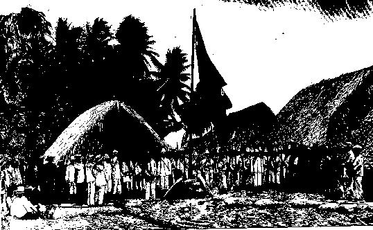
I-Kiribati life is communal and traditional, built around the extended family and the maneaba, the great open meeting house that stands at the heart of every village and serves as the seat of local decision, ceremony, and debate. Custom, seniority, and consensus govern island affairs, and a rich heritage of navigation, dance, and song endures, the dance in particular famed for its sharp, birdlike movements of the arms and head. Devoutly Christian and bound tightly to the sea, the people keep a way of life shaped by the rhythms of the ocean and the coconut, spread thinly across some of the most remote inhabited places on Earth.
No question looms larger over Kiribati than its own survival. Its islands rise only a metre or two above the ocean, and rising seas, worsening storm surges, and the salting of fresh water already threaten homes, crops, and drinking supplies. This has made Kiribati one of the world's most prominent voices on climate change, and it has forced hard and unresolved debates about the future. One former government bought land in Fiji and spoke of migration with dignity, preparing for the day the islands might become uninhabitable; others reject the idea of leaving and press instead for seawalls, raised islands, and adaptation at home. How, and whether, a nation can be kept alive against such a threat is Kiribati's defining and unfinished struggle, watched closely by a warming world.
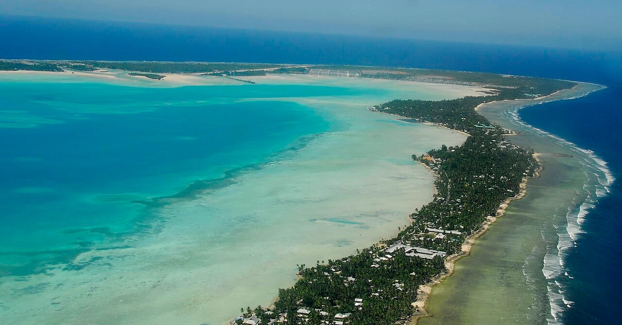
Kiribati has a population of around 120,000 people, overwhelmingly the Micronesian I-Kiribati, with small minorities of other origins, sharing the Gilbertese language alongside English. The population is concentrated on the Gilbert Islands, especially the crowded capital atoll of South Tarawa, where a large share of the nation lives in increasingly dense conditions, while the more distant atolls remain sparsely settled. Life is largely traditional and communal, centred on the extended family and the village meeting house, in one of the most remote and low-lying nations on Earth.